FRIENDS OF THE SMITH
WE DON'T JUST FLOAT IT. WE PROTECT IT.
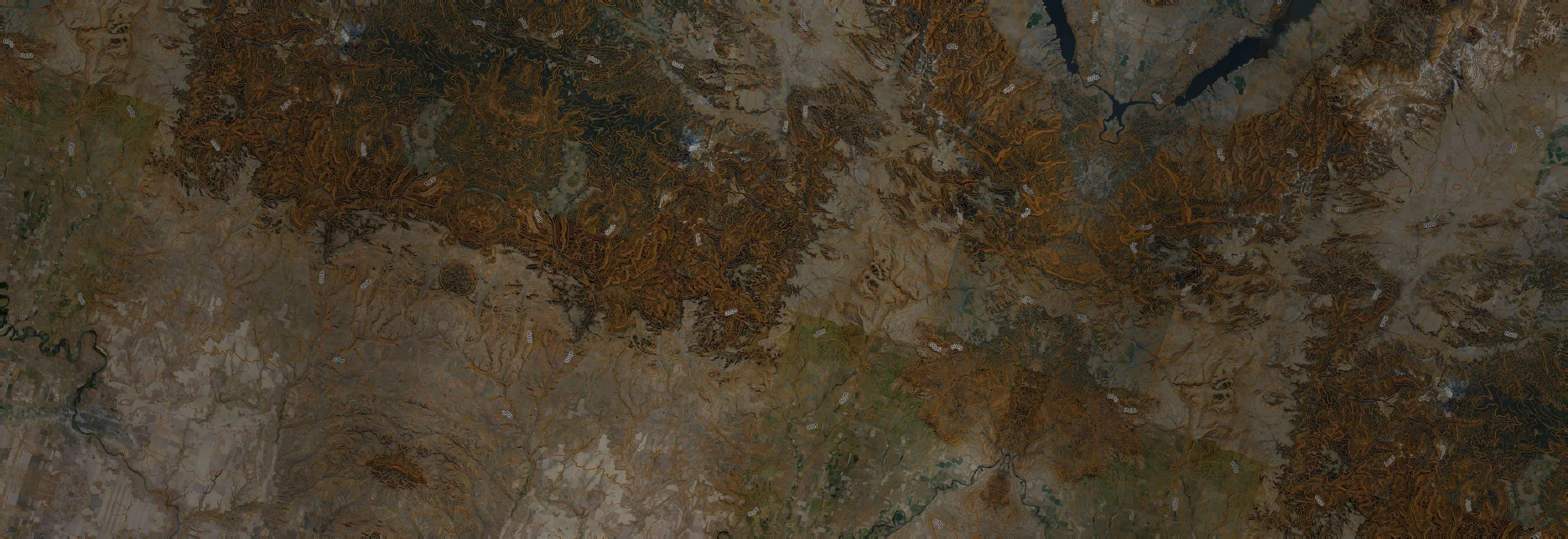
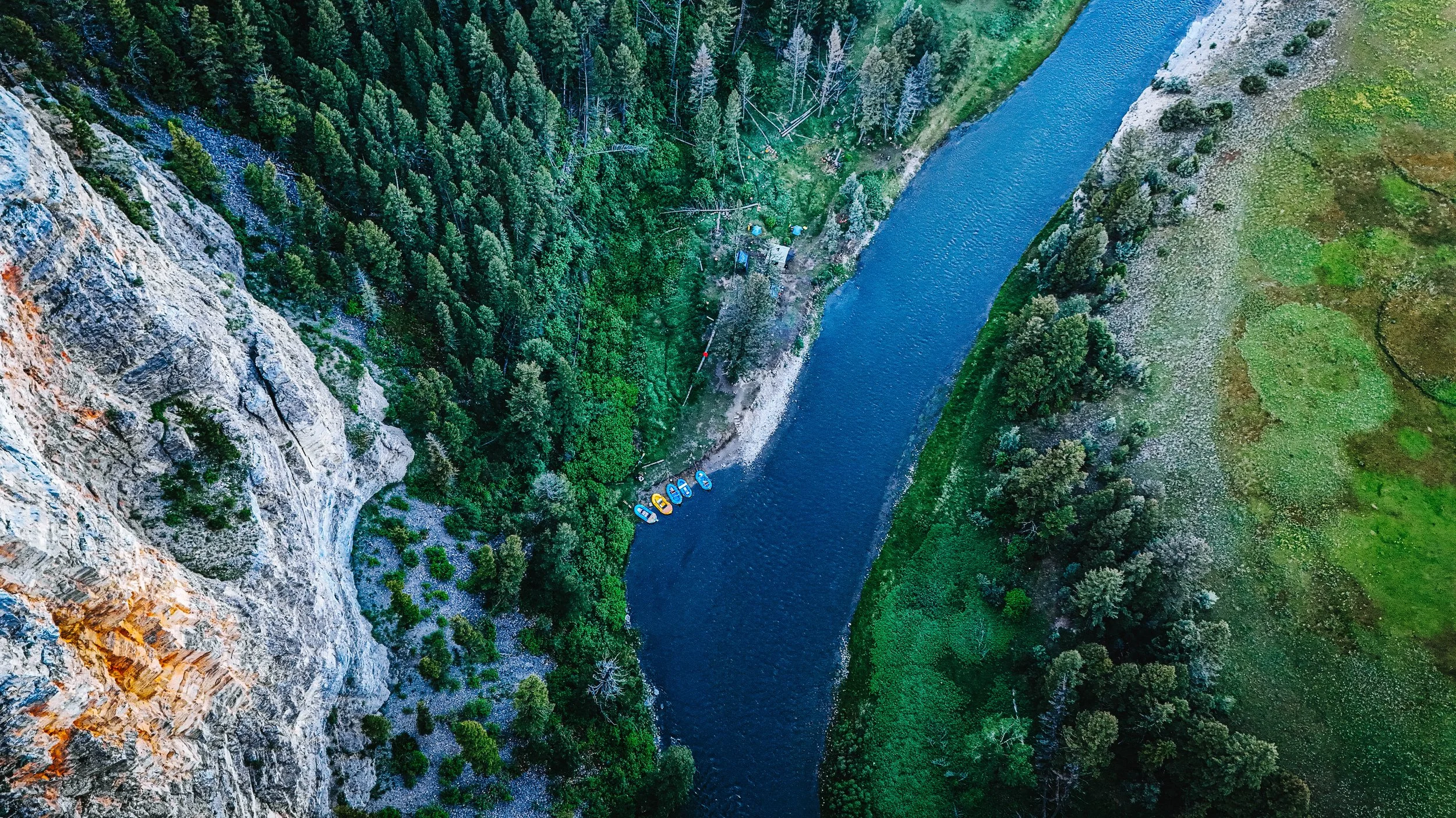
58.9 MILES
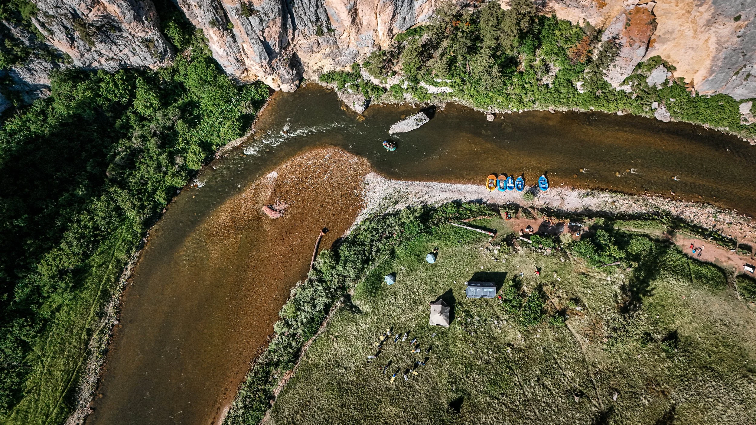
Fifty-two boat camps. MVP has worked every one of them.
MVP has partnered with Montana Fish, Wildlife & Parks on the Smith River every year since 2019. In 2024 one MVP crew pulled every pit latrine on the river in a single trip — the end of an era, and the start of pack-it-out.
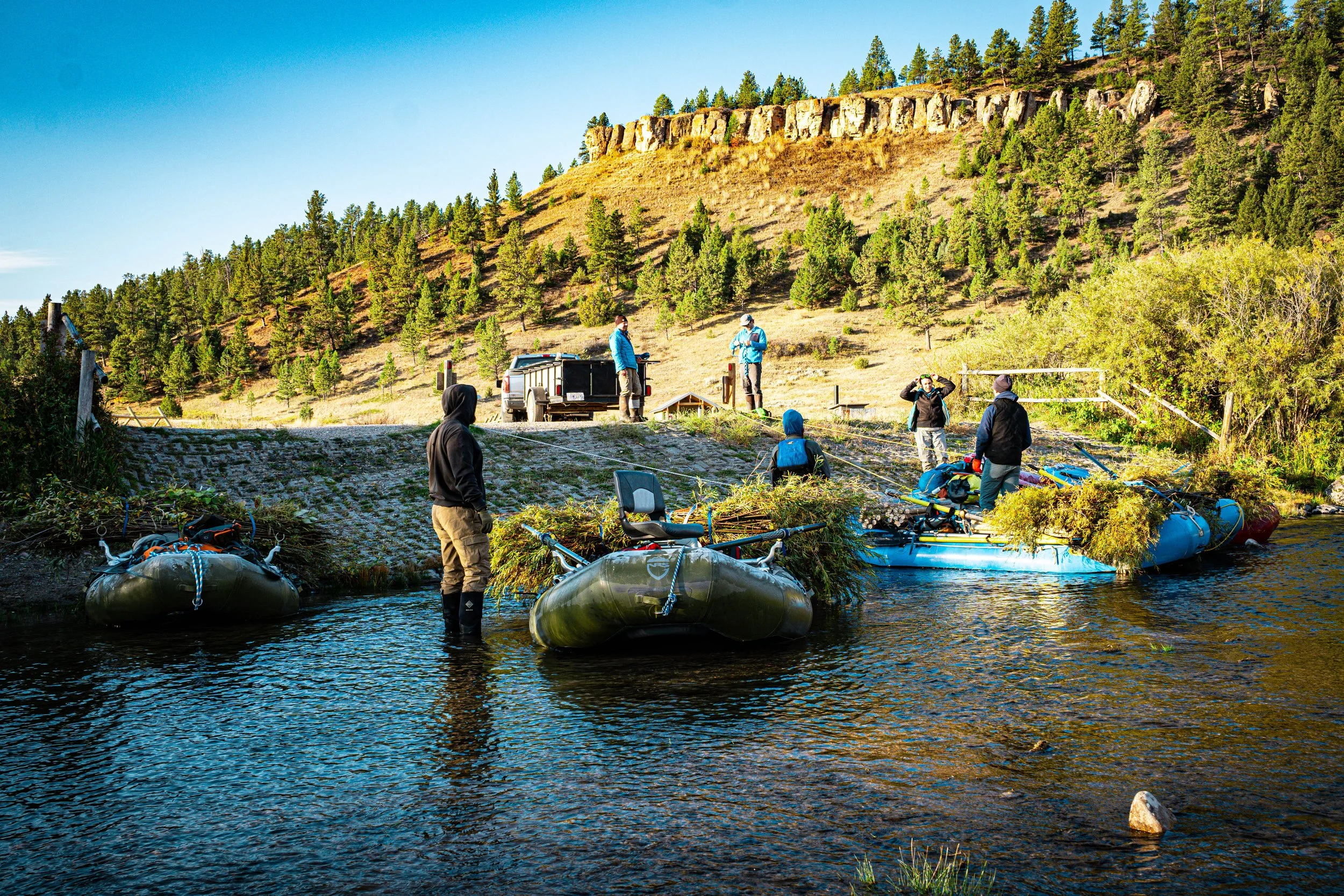
Before that, MVP maintained those toilets. Most of the boat ties you'll tie off to were built by MVP crews. Rock hauling, bank stabilization, downed timber, closed camps reopened — that's the work behind the float.
Plan your Smith River float
This is a planning tool, not a campsite sign-up. FWP assigns your camps with your permit, so confirm them with Montana FWP.
How many days is your float?
Camps are grouped by pace only, not by quality. Heaven on Earth is a private ranch, not an FWP boat camp; every other camp listed is. FWP works with each permit on camp choices, so confirm yours with them.
Camp details and river sides come from the FWP 2026 Floater Information Packet (PDF). The map on page 20 shows which side of the river each camp is on. Left and right are facing downstream.
Heaven on Earth is private
Heaven on Earth is a private ranch, not an FWP boat camp. Overnight stays are by reservation only. You can only stay here if you have already reserved a cabin or room with the ranch.
A night here counts toward the 4-night limit from May 15 to July 15. Ranch contact details are in the vendor list in the FWP floater packet.
Float factsSeason, permits, water level, rules
Last checked October 2026. Rules and dates change, so confirm with Montana FWP before you go.
Season
Floating typically runs mid-April through mid-July, with some floats in September and October, and permits are required year-round. May 15 to July 15 is the peak window, with a 4-night maximum that counts nights at private cabins and ranches. MVP floats five days and four nights, and likes late April to early May too.
Permits
Applications ran January 1 to February 15 for 2026, with the drawing on February 18. Dates can change, so check FWP each year. Apply on the FWP site
Water level
FWP's recommended minimums are 150 cfs for canoes, 250 for rafts and 350 for drift boats. MVP has floated rafts at 200 cfs. It stops being fun, and you end up walking the raft through shallows. Check the USGS gauge, Smith River below Eagle Creek near Fort Logan, before you go.
Rapids
Class II water at mile 47 and around mile 49.
Last 12 miles
Rattlesnake Bend to Eden Bridge is private land on both banks, and Montana's high-water-mark rule applies. Some very good fishing here.
Waste
Pack out all trash and all human waste. Approved hard-sided portable toilets only. Bag systems are not allowed. Two SCAT machines at Eden Bridge wash and sanitize them. Anything left behind gets picked up by MVP or FWP. FWP toilet system details
Toilet we use
The Selway River Bank II, on FWP's approved list. It works for 12 or more people without the extra tank.
Food storage
Bear-resistant methods are required: a locked bear-resistant cooler, an approved electric fence, or food hung 10 feet high and 4 feet out from the support.
Fire
Fire rings only. Bring your own wood or buy bundles at Camp Baker. Do not cut trees or driftwood.
Boat camps
FWP lists 27 boat camps with 52 campsites. You can only camp at the boat camps you are assigned. Only 26 of the river's 118 miles of shoreline are public land.
Trip length
FWP says plan at least two nights and three full days at normal flows, which is 300+ cfs. The average float is four days.
Layover nights
Two or more nights at the same camp are allowed at mid-canyon camps, Two Creek to Upper Parker. Only one layover night is allowed May 15 to July 15.
Camp Baker check-in
Arrive at least one hour before your launch time and check in with the River Ranger or site host.
Fences and gates
Fences with float gates cross the river in places. Go through with care, do not cut fences, and do not stop in front of cabins.
Contacts
Camp Baker ranger: 406-547-3893. FWP Region 4: 406-454-5840. FWP Smith River page · FWP floater packet (PDF)
3, 4 and 5 day itinerariesEven-pace camps for each night
3-day float
An even pace is about 19.6 miles a day. The camps below sit within 2 miles of each night's even-pace mile.
- Night 1, near mile 20: Two Creek (mile 17.8), Sheep Wagon (mile 18.4)
- Night 2, near mile 39: Parker Flat (mile 37.5), Deep Creek (mile 38.7), Paradise Bend (mile 39.5)
- Day 3: finish at Eden Bridge, mile 58.9.
4-day float
An even pace is about 14.7 miles a day. The camps below sit within 2 miles of each night's even-pace mile.
- Night 1, near mile 15: Syringa (mile 15.2)
- Night 2, near mile 29: Bear Gulch (mile 29.0), Trout Creek (mile 30.3)
- Night 3, near mile 44: Staigmiller (mile 44.0), Merganser Bend (mile 44.5), Black Butte (mile 44.8), Ridgetop (mile 45.0)
- Day 4: finish at Eden Bridge, mile 58.9.
5-day float
An even pace is about 11.8 miles a day. The camps below sit within 2 miles of each night's even-pace mile.
- Night 1, near mile 12: Scotty Allen (mile 12.0)
- Night 2, near mile 24: Cow Coulee (mile 22.8), Sunset Cliff (mile 23.6), County Line (mile 25.5)
- Night 3, near mile 35: Table Rock (mile 33.5), Fraunhofer (mile 35.4), Meadow Bend (mile 36.0)
- Night 4, near mile 47: Givens Gulch (mile 47.2), Rattlesnake Bend (mile 47.4)
- Day 5: finish at Eden Bridge, mile 58.9.
Camps are assigned with your FWP permit, so this is a planning guide, not a reservation. Confirm your camps with Montana FWP.
Every camp, mile by mileAll boat camps from Camp Baker to Eden Bridge
| Mile | Camp |
|---|---|
| 0.0 | Camp BakerPut-in. No camping here. |
| 4.4 | Lower Spring CreekFirst camp downstream. The water is shallow and boulder-filled, and gets skinny at low flow.River left |
| 4.4 | Upper Spring CreekSame camp area as Lower Spring Creek. Details in the row above.River left |
| 5.6 | In LieuCanyon entrance. Hiking access to public land.River right |
| 6.0 | Lower Indian SpringsThree sites. A spring runs across the river from camp. MVP crews have drunk from it many times. Drink at your own risk.River right |
| 6.0 | Middle Indian SpringsSame camp area as Lower Indian Springs. Details in the row above.River right |
| 6.0 | Upper Indian SpringsSame camp area as Lower Indian Springs. Details in the row above.River right |
| 6.8 | Lower Rock GardenLimestone canyon walls. Some private land nearby.River left |
| 6.8 | Upper Rock GardenSame camp area as Lower Rock Garden. Details in the row above.River left |
| 8.9 | Rock CreekA popular first night with good fishing. Private property nearby.River right |
| 12.0 | Lower Scotty AllenThree sites. A popular first night.River left |
| 12.0 | Middle Scotty AllenSame camp area as Lower Scotty Allen. Details in the row above.River left |
| 12.0 | Upper Scotty AllenSame camp area as Lower Scotty Allen. Details in the row above.River left |
| 15.2 | SyringaGood fishing upstream of camp.River left |
| 16.5 | Handprints |
| 16.9 | Canyon DepthTall limestone backdrop and a large eddy.River right |
| 17.8 | Two CreekSmall limestone cliffs and narrower water.River right |
| 18.4 | Sheep WagonA private cabin sits nearby. Mix of sun and shade.River right |
| 22.8 | Lower Cow CouleeMultiple sites. Slow pool and cliff views.River right |
| 22.8 | Middle Cow CouleeSame camp area as Lower Cow Coulee. Details in the row above.River right |
| 22.8 | Upper Cow CouleeSame camp area as Lower Cow Coulee. Details in the row above.River right |
| 23.6 | Lower Sunset CliffBig orange cliff face. In high water the current can push you toward the cliff at the pullout. Stay river right.River right |
| 23.6 | Middle Sunset CliffSame camp area as Lower Sunset Cliff. Details in the row above.River right |
| 23.6 | Upper Sunset CliffSame camp area as Lower Sunset Cliff. Details in the row above.River right |
| 25.5 | County LineLast camp before Heaven on Earth Ranch.River right |
| 28.4 | Heaven on EarthPrivate ranch. Not an FWP boat camp. Cabins and rooms can be rented here, so it can work as a night off the ground. Contact the ranch directly to reserve. |
| 29.0 | Lower Bear GulchGrass fields. Emergency access point.River right |
| 29.0 | Upper Bear GulchSame camp area as Lower Bear Gulch. Details in the row above.River right |
| 30.3 | Lower Trout CreekSites close together, with cliffs around camp.River left |
| 30.3 | Middle Trout CreekSame camp area as Lower Trout Creek. Details in the row above.River left |
| 30.3 | Upper Trout CreekSame camp area as Lower Trout Creek. Details in the row above.River left |
| 31.8 | Crowsfoot Pictographs |
| 32.0 | CrowsfootWide views and little cover.River left |
| 33.5 | Lower Table RockA distinct rock formation and slow water. Limited privacy.River right |
| 33.5 | Middle Table RockSame camp area as Lower Table Rock. Details in the row above.River right |
| 33.5 | Upper Table RockSame camp area as Lower Table Rock. Details in the row above.River right |
| 35.4 | Lower FraunhoferLimestone face. Cattle country.River right |
| 35.4 | Middle FraunhoferSame camp area as Lower Fraunhofer. Details in the row above.River right |
| 35.4 | Upper FraunhoferSame camp area as Lower Fraunhofer. Details in the row above.River right |
| 36.0 | Meadow BendShown on the FWP floater packet map. Site details coming.River left |
| 37.5 | Upper Parker FlatThe upper site is open with little cover and good afternoon fishing. Sites 1 to 3 sit close together with cliff views and some trees.River right |
| 37.9 | Parker Flat #1Same camp area as Upper Parker Flat. Details in the row above.River left |
| 37.9 | Parker Flat #2Same camp area as Upper Parker Flat. Details in the row above.River left |
| 37.9 | Parker Flat #3Same camp area as Upper Parker Flat. Details in the row above.River left |
| 38.7 | Deep CreekFishing against a cliff face.River left |
| 39.5 | Paradise BendBorders private property. Island fishing.River right |
| 44.0 | StaigmillerFast current. Forest nearby and semi-open grass.River right |
| 44.5 | Merganser BendEasy to miss from the river.River left |
| 44.8 | Lower Black ButteElevated sites with a steep hike up from the water. Land carefully in high water.River right |
| 44.8 | Upper Black ButteSame camp area as Lower Black Butte. Details in the row above.River right |
| 45.0 | Lower RidgetopForest canopy and the longest hikes from the water. Turkeys reported.River left |
| 45.0 | Middle RidgetopSame camp area as Lower Ridgetop. Details in the row above.River left |
| 45.0 | Upper RidgetopSame camp area as Lower Ridgetop. Details in the row above.River left |
| 47.2 | Lower Givens GulchLong river bench. Stay left of the island. Class II water near mile 47.River left |
| 47.2 | Upper Givens GulchSame camp area as Lower Givens Gulch. Details in the row above.River left |
| 47.4 | Lower Rattlesnake BendLast boat camps. Cliff views and open fields. Rattlesnakes live here.River right |
| 47.4 | Upper Rattlesnake BendSame camp area as Lower Rattlesnake Bend. Details in the row above.River right |
| 58.9 | Eden BridgeTakeout. Fast pull-in. Two SCAT machines here wash and sanitize approved toilets. Call FWP Region 4 at 406-454-5840 to check they are running. |

THE WORK
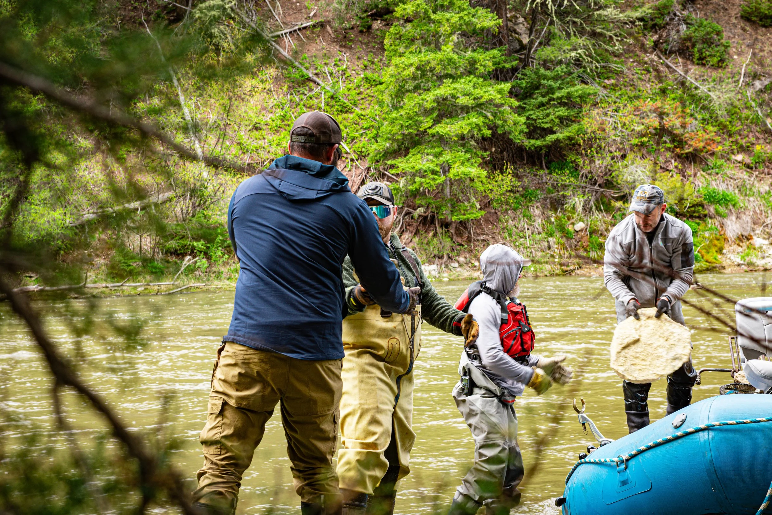
BANK STABILIZATION & BIOENGINEERING — Hauling rock, stabilizing eroding banks at priority sites, working alongside FWP and GEUM Consulting on long-term corridor health.
CAMPSITE RESTORATION — Replacing fire rings, clearing waste, removing hazards so the sites stay usable for everyone who comes after us.
TIMBER CLEARING — Cutting and hauling downed timber to keep float access open to the public.
LANDOWNER & AGENCY SUPPORT — Moving material, staging wood, doing the unglamorous work that keeps the partnership with FWP and USFS strong.
WILLOWS BEING BURIED. WILLOWS CAN ONLY BE HARVESTED AND PLANTED DURING SPECIFIC TIMES OF THE YEAR. FUN FACT: ANY CELL ON THE WILLOW CAN TURN INTO A ROOT CELL, SO WE BURY THEM TO SPROUT THE MOST NEW STEMS.
WE REMOVE TREES FROM CAMPGROUNDS THAT ARE A POTENTIAL DANGER FOR CAMPERS. FUN FACT: THESE TREES ARE CALLED WIDOW MAKERS.

OUR PARTNERS ON THE RIVER
MONTANA FISH, WILDLIFE & PARKS (FWP) — Project identification, coordination, and oversight along the corridor.
U.S. FOREST SERVICE (USFS) — Logistics, materials, and technical collaboration.
GEUM CONSULTING — Technical partner on bioengineering planning and site work.
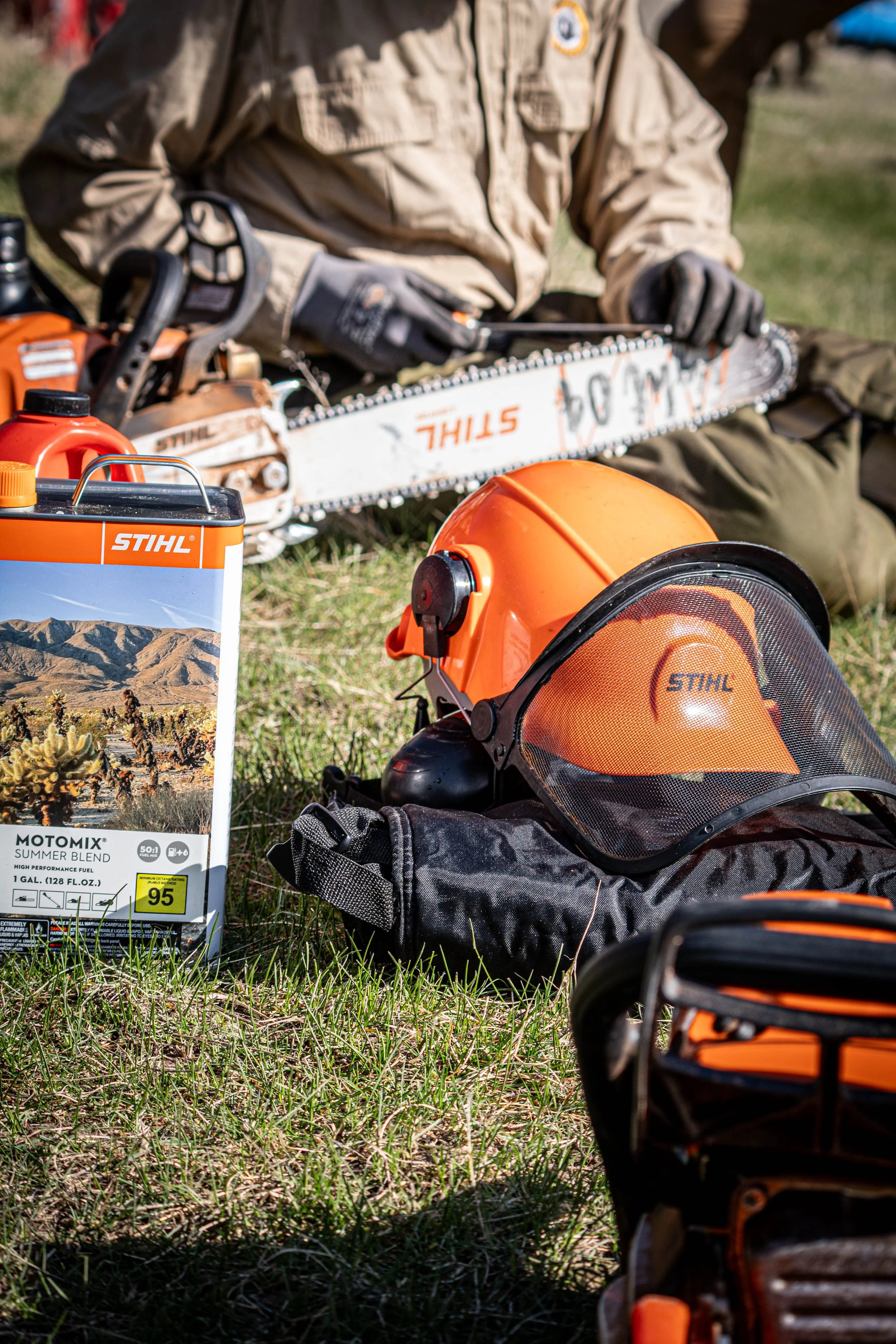
STIHL — Donates safety equipment, chainsaws, fuel, and more for the crews doing the work.
NRS — Gives MVP a discount on river gear, keeping every trip properly equipped.

WHAT RESILIENCE LOOKS LIKE.
CAMERON — Promoted to Team Leader for his leadership and dedication on the Smith River. Started as a volunteer. Earned the role.
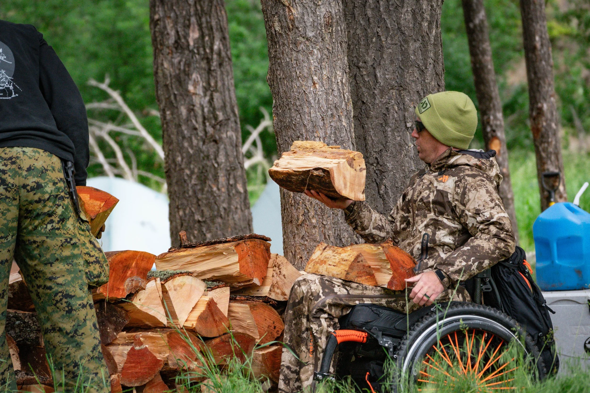
LEWIS JOHNSON — A Montana veteran and Highway Patrol Trooper, paralyzed in the line of duty. Worked the crew moving rock and clearing timber like everyone else.
GUNNERY SERGEANT DORIAN GARDNER — Legally blind. Helped cut timber. Rowed a raft.
Every volunteer on that river gets reminded what resilience actually looks like.
Pursuing "Friends of the Smith" designation for long-term stewardship recognition
Expanding bioengineering work at priority sites with FWP and GEUM
Building better reporting tools to track and prove the impact
PURSUING GRANTS TO HELP FUND THIS MISSION.
WHERE WE GO FROM HERE